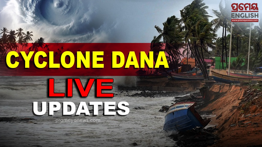


Bhubaneswar, Oct 25: The landfall process of Cyclone 'Dana' commenced on Odisha coast in the intervening nights of October 24 and 25 and is expected to continue till the morning hours of Friday, the India Meteorological Department said.
Bhubaneswar IMD Director, Manorama Mohanty, said, " The severe cyclonic storm over the northwest Bay of Bengal has moved northnorthwestward and at a speed of 15 km/hr during the last 6 hours... it is very likely to move northwestward and cross the north Odisha coast and the West Bengal coast between Puri and Sagar Island...during next 3-4 hours...the landfall process has commenced...it will continue till Friday morning."
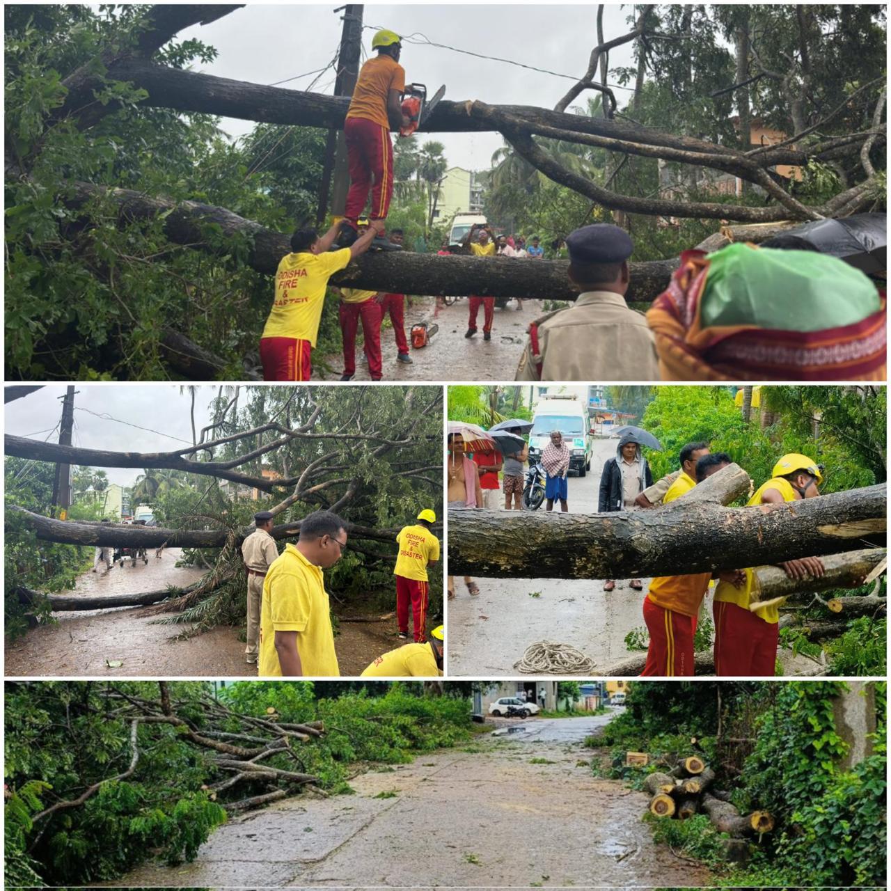
Heavy rain and gusty winds have thrown normal life out of gear in Bhadrak, Kendrapara districts of Odisha as the landfall of Cyclone Dana commenced.
In a post on X, the IMD said, "Landfall process has commenced. It lay near latitude 20.5° N and longitude 87.1°E, about 50 km east-northeast of Paradip (Odisha), 40 km south-southeast of Dhamara (Odisha) and 160 km southwest of Sagar Island (West Bengal)."
The weather department also informed that Cyclone Dana is very likely to move north-northwestwards and cross the north Odisha and West Bengal coasts between Puri and Sagar Island close to Bhitarkanika and Dhamara (Odisha) during the next 3 to 4 hours as a severe cyclonic storm with a wind speed of 100-110 kmph gusting 120 kmph.
The landfall process has commenced and the forward sector of the wall cloud region is entering into land. The landfall process would continue till October 25 morning. The system is under continuous surveillance of the Doppler Weather Radar at Paradip, the IMD said.