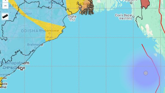
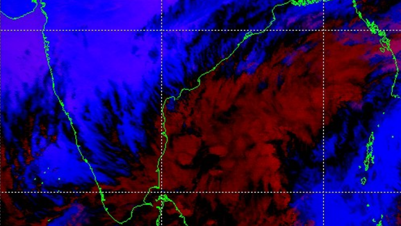
Bhubaneswar: The deep depression at the 10:30 AM morning is in a favourable wind shear region. The wind speed of the system is now 30knots. Since it is in a favourable region, the wind speed may cross 35knots in next 12-24 hrs. Cyclone Fengal will come into existence over southwest Bay of Bengal any time soon.
However, the big revelation the environmental analysis has unfolded is the deep shear (vertical wind shear) to the northwest of the system is very high. The high deep shear may render the Cyclone Fengal dissipate to a deep depression as it inches to landfall in Tamil Nadu. As a consequence, the wind speed over the coastal Tamil Nadu will remain below 70kmph.
CLOUD POSITION REVEALED
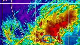
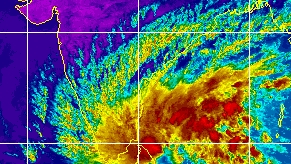
A glance at the cloud structure of the system at 10:30 AM morning hours (image given below) show that strong convective clouds lies towards the northeast of the system where the wind shear is conducive. The cloud top temperature is measured between (-) 50 to (-) 70 deg C.
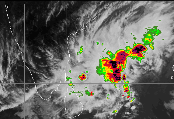
The cloud position shows heavy rain will hit the places lying to the west and north of the system’s landfall zone.
LANDFALL PLACE TRACKED
The deep layer mean shows Cyclone Fengal will be making landfall on Nov 30 (around 9 am) to the south of Puduchhery, precisely close to Cuddalore port area. (See the image below).
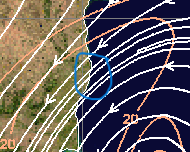
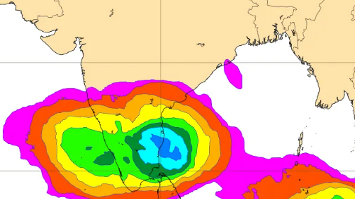
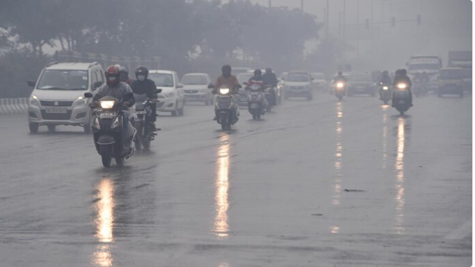
During the landfall, the whole of the coastal region ranging from Nagapattnam to Chennai will record around 32-64 cm rainfall, suggest the model forecasts of ECMWF, NCMRWF and IMD. And surface wind speed will gust at 70kmph.
POST LANDFALL TRACK
The DLM and model guidance show that the system will move west-southwest post land fall. As a consequence places like Perambulur, Thanjavur City, Thiruchchirapalli, Dindigul, Teni, Madurai and Tirunelveli will record rainfall in the range of 8-50cm on November 30 and December 1.
KERALA RAIN ALERT
As per the model track forecast, the weakened system will cross Kerala to emerge into the Arabian seas on December 4. The forecast suggest heavy rains lashing Kerala on Dec 1, 2 and 3. The rainfall will be in the range of 16-64 cm. However, the God’s own country will record the heaviest rains on December 2.
ANDHRA PRADESH RAIN ALERT
A glance at the model forecasts suggest the following places receiving heavy rain fall between Nov 1 and Dec 2.
- Chittoor (32-64mm on Nov 30; 4-16cm till Dec 2)
- Cuddapah
- Annamayya
- Puttapurti
- Ananatpur
- All the above districts will record rainfall in the range of 4 -16cm.


