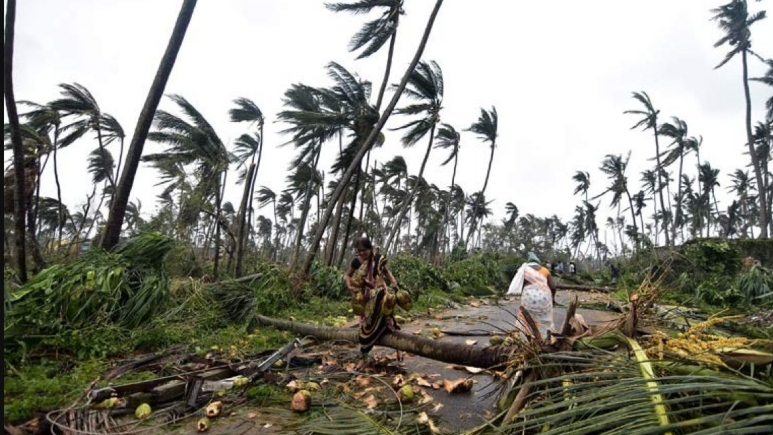


Bhubaneswar: When early to mid April is generally considered as unfavourable for cyclone genesis in Bay of Bengal, will the trend see a break in the year 2025.
It is time to take a glance at the atmospheric and oceanic conditions prevailing in the Bay of Bengal region.
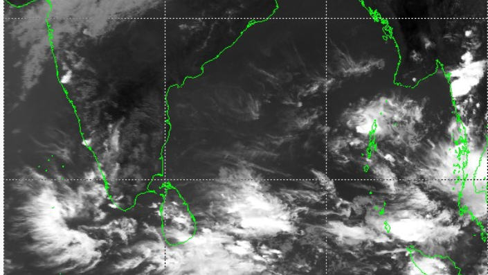
BAY OF BENGAL GROUND REPORT
- The Bay of Bengal, as usual, is witnessing a dominant anticyclonic gyre.
- The MJO is in weak phase. As per NCEP latest forecast, it will remain in 7th phase.
- The phase is not conducive for convective activities in Bay of Bengal
- But the Climate Forecast System model of North Carolina Institute of Climate Studies has suggested development of equator Rossby waves and Kelvin waves over Andaman seas and the adjoining pacific seas.
- These waves, however, can aid formation of cyclone.
- The precipitable water content in south Bay of Bengal is positive (between 11-14kgm2)
- This shows necessary moisture is present for cyclone genesis
- More over, the sea surface temperature in the whole of south Bay of Bengal and Andaman seas have been over 29 deg C..
THE CLINCHER
A glance at the model forecast of sea and atmospheric conditions hints big.
- The NCICS developed CFS has predicted a negative zonal wind till April 6.
- The CFS shows since the zonal wind is negative during the first week of April, this condition is considered not favourable for cyclone genesis.
- More over, the CFS shows negative zonal shear in Bay of Bengal, which is not conducive for cyclone genesis.
THE CONSEQUENCE
A whole lot of models have today downgraded the possibility of cyclone genesis over south Bay of Bengal during the late first week of April.
- The IMD-GFS model today predicted non-formation of cyclonic circulation over south bay of Bengal
- NCMRWF NCUM-G model has not predicted any cyclonegenesis in the first week of April.
- INCOIS Integrated Ocean Forecast model has downgraded the formation of cyclonic circulation Tuesday.
- NCEP GFS today predicted a cyclonic circulation over south Bay of Bengal with lot of convective clouds.
- The NCEP has predicted cyclone-genesis, but will dissipate soon over the seas.
- ECMWF now has downgraded the cyclone genesis probability to below 30% (means low probability)
- The Australian weather prediction model ACCESS has made a forecast of convective clouds over south Bay of Bengal
- But it didn’t see cyclone genesis taking place.
- All models indicate the convective clouds bringing rain to south Tamil Nadu and Sri Lankan region.