Bhubaneswar: The National Weather Prediction Centre of USA in its latest forecast has predicted “Fire weather” concerns to continue across coastal locations of southern California Sunday with winds gusting between 30-50 mph early this morning.
The forecast predicts gusty winds continuing in Monday across southern California as mid-level impulses sink south across the western U.S., allowing for a re-tightening of the surface pressure gradient and gusty downslope/offshore winds.
The national weather service of USA talking about the gusty wind that is currently wreaking havoc is known as Santa Anna Winds (SAW)
FOREST INFERNO FORECAST
As per the fire outlook reported by US Forest Service, low to moderate risk of significant fire potential remains for the following states of USA till January 16. (See the map below for Jan 16, 2025)
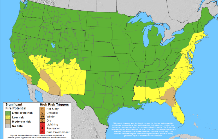
- Moderate risk of significant fire potential exists for California till Jan 16
- Moderate risk also holds for state Arizona till Jan 16
- Moderate fire risk of significant fire potential predicted for Florida and Georgia from Jan 14 onwards
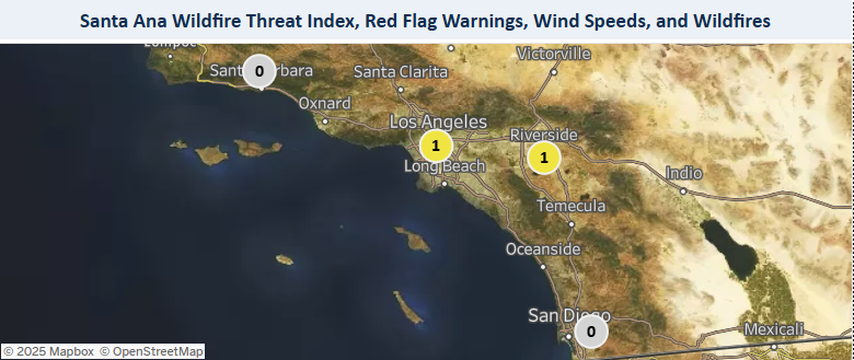
- The gusting Santa Anna Winds will have a grip over California till January 14, 2025, triggereing significant fire phenomenon.
CURRENT FIRE SCENARIO IN USA
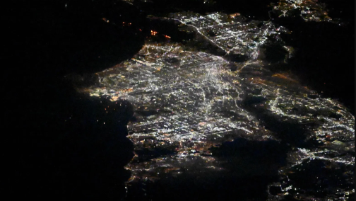
As per US National Integration Coordination Centre’s Incident Management Situation Report (IMSR) released on Saturday, January 11, 2025, there were 23 large fires raging in the country. Of which, 5 large fires are still not contained. The large fires not yet contained falls in the following states. See the satellite image taken by NASA
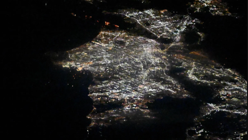
- Southern California – 4 (Palisades, Eaton, Hurst, Kenneth) Details of loss given below.

- Southwest Area – 1 (Horton) Details of loss given below

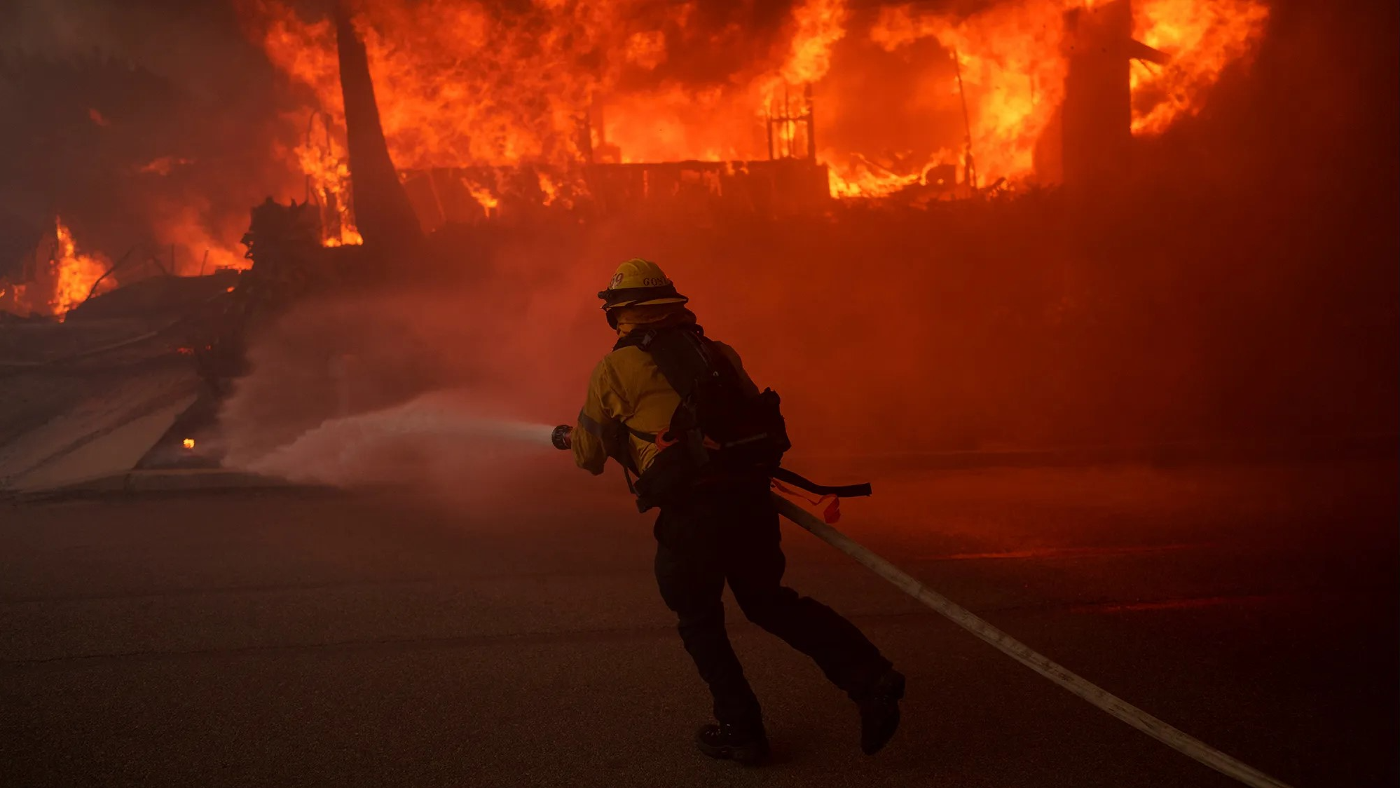
FIRE FIGHTING ON
- Cumulative acres affected by Fire – 45,718 acres
- Crews deployed – 118
- Engines deployed – 919
- Helicopters used – 29
- Total Personnel at work – 7523.
INFERNO DAMGE IN CALIFORNIA
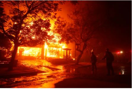
As per the California official website, the state has witnessed 101 wildfires that burned 40,198 acres to ashes, and resulted in 10 fatalities. The structural damage stood at 12300+, excluding that of in Palisades and Eaton.
Such type and scale of fires in Soutern California was witnessed in 2021 and 2019. See the image below.

WHAT ARE SANTA ANNA WINDS?
The gusting northeast winds are hot and dry and originates from the high pressure area over the Great Basin – the vast desert covering 1.9lakh square miles and is bordered by Sierra Nevada in west, Wasatch mountains on the east, Colombia plateau to north and Mojave Desert on the south.
They start in the Basin's inland deserts, east and north of Southern California, and flow downward, taking a turn toward the Pacific Ocean.
As per weather records, Santa Anas are often late-year (Decemeber) winds that form when the weather is cooler in the Great Basin; they don't begin in hot deserts. The winds that were pushed towards the Southern California by high pressure systems, actually start off as cool winds.
But as the cool air descends down, they get both warmer and drier.
HOW SANTA ANNA LITS THE FIRE?
As the wind is hot and dry, when it passes over the driest regions of Southern California, fuels the fire in the fire-ready tinder area.
ARE SANTA ANNA WINDS TAIL ON?
As per latest climate model studies done by Pierce et al in 2018 and Guzman-Morales and Gershunov in 2019, Santa Anna Winds activity will diminish in future decades.
The report reasoned that the frequency of Santa Ana wind events will drop by an average of 18 percent by the end of the 21st century, largely because the Great Basin will have fewer days of the cold weather that is necessary to form the winds.
DOES THIS A RESPITE?
There seems no respite as the winds will not totally die down. Lesser cold days over Great Basin will generate the winds in early winter, as witnessed in 2025. It will then trigger fire in early winter months. But the worst case scenario here is the fires will be burning for a longer period, thanks to complete arid environment during the winter in southern California.


